We depart from my house (Balakong) at 530am, and reached the destination at 620am. It was still dark but a lot of people were already there.


The first part of the trail was easy, the road was paved and was going slightly uphill. This was a good warm up for us, but we gotta remind ourselves not to go too fast or we will get exhausted when the real challenge starts.

The paved road is roughly 1km in length, after that it would be an uneven trail. It is important to have a good pair of hiking/trail running shoes as it is extremely slippery if it rains. Be reminded that running shoes just don't cut it, you will be wasting too much energy in preventing yourself from falling over and can't focus in the action.

Just follow the trail for about 1 hour walk and you will reach the waterfall area. You can rest over here for a while before going on. The path will be a bit harder after this point.


From this point forward, the trail become a bit difficult. The distance is not far but it will be constant uphill battle. The notice board below shows the distance between the next few stops. The sequence of the next few stops will be: lo-lo camp site, pacat camp site, first peak and second peak. But gotta admit, the view along the way is quite fascinating too.


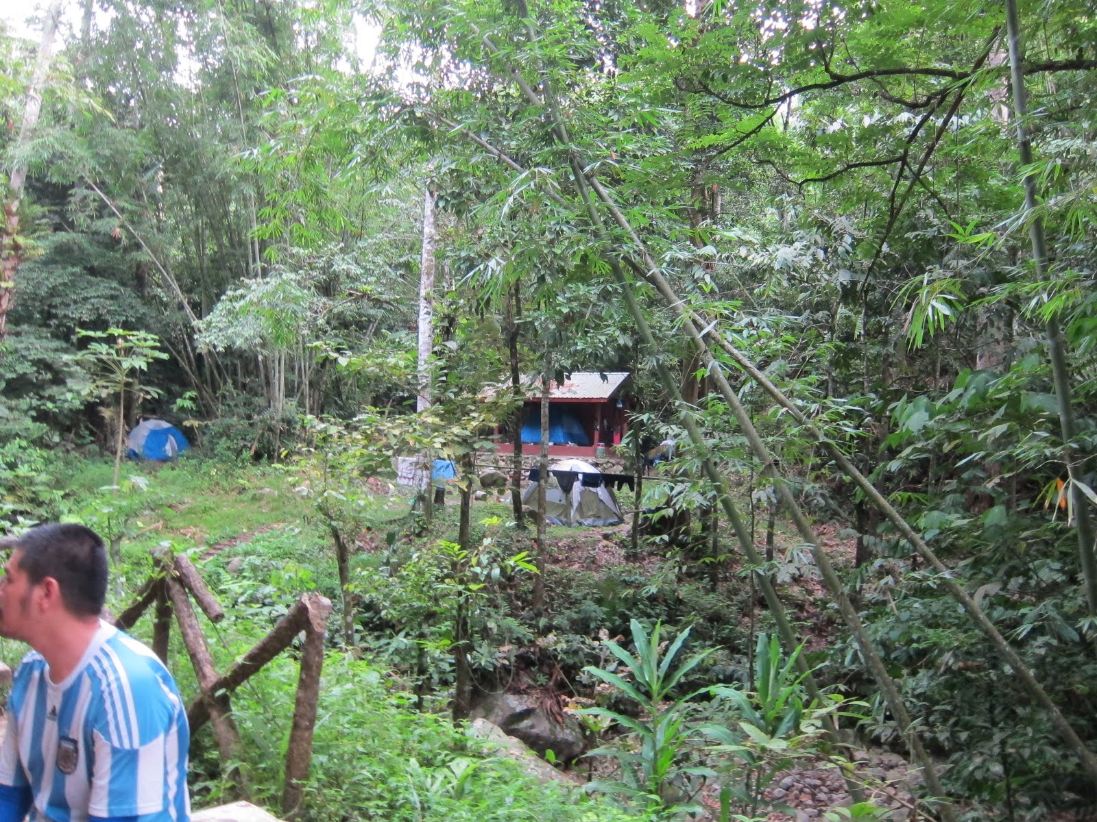
The trip from waterfall to lo-lo camp is still not too challenging. Crossing a big tree truck, and we were at lo-lo camp.


We didn't rest at lo-lo camp but proceed directly towards pacat-camp. This was the small trail leading out of lo-lo camp.

The trail from lo-lo camp to pacat-camp involves much more climbing. When we finally arrived at pacat-camp, we had a rest and took our breakfast. The pacat camp was just a small flat area where you can rest, nobody actually camp over here today.


From pacat-camp towards the two peaks was where the fun begins. The constant uphill and steep trail really put a challenge onto us. But finally we made it to the top. You can see that the scenery was nice. If the weather is good, you will be able to see the lake clearly. Truely a magnificent view, my photos would never do this justice, you need to be there to fully enjoy the view.

Second peak, aka Gunung Nuang. Finally we were there.


After 30 minutes rest at the top, we started our downhill battle. The downhill trail was even more challenging than our uphill process as we were pretty worn out and the pressure put onto our knees and toes were killing us. Anyhow, we finally made it back to our starting point after a total of 11 hours hike. We would definitely come again, but probably not too soon.
Garmin Connect
No comments:
Post a Comment